Pioneering Global Excellence in Geospatial Data


Infogeospatial delivers precise mapping and spatial intelligence tailored for governments, businesses, and development projects worldwide, ensuring your mission-critical decisions are backed by trusted data.
Empowering Precision with Geospatial Insights
Explore Infogeospatial’s expert geospatial solutions tailored for governments, businesses, and development projects worldwide.
-
 ₦1,499.99
 -
 ₦4,999.99
 -
 ₦1,299.99
Mapping Accuracy with Global Geospatial Solutions
Explore how our surveying, GIS, and remote sensing expertise drives projects worldwide with precision and insight.

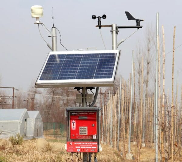
Global Survey Hub
Offering precision surveying and spatial data analysis to support your global initiatives.

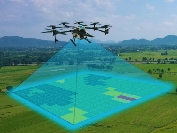
Remote Sensing Center
Specializing in advanced imagery and environmental monitoring for informed decisions.

GIS Analytics Division
Harness cutting-edge GIS tools here to enhance your spatial intelligence capabilities.
Insights
Explore our curated articles and expert resources on global surveying, GIS, and remote sensing to enhance your geospatial knowledge.
-

How to Choose the Right GPS Tracker in 2026 – Don’t Waste Money on the Wrong One
Picking the right GPS tracker in 2026 feels overwhelming at first. Walk into any online store or scroll through reviews, and you’ll see dozens of options promising pinpoint accuracy, endless battery life, and all sorts of bells and whistles. But after seeing how…
-
What Really Makes Up a GIS Shapefile? A Simple, Complete Breakdown
When you first encounter a shapefile in GIS work, it often feels confusing. You download what you think is one file, but suddenly there are five, six, or more items in the folder all sharing the same name but different endings. People casually…
Accurate Geospatial Solutions Worldwide
Discover upcoming webinars and workshops showcasing the latest in GIS technology and spatial analysis tools, designed to connect professionals and enthusiasts alike.

Global GIS Data Integration Summit

Date:

Location:
Join us for an in-depth session on merging diverse geospatial datasets for enhanced decision-making.

Remote Sensing Innovations Forum
Date:
Location:
Explore cutting-edge remote sensing techniques transforming environmental monitoring and urban planning.
Introduction to Spatial Intelligence Workshop
Date:
Location:
A hands-on workshop focusing on practical applications of spatial data for government and business projects.
