Author: NNACHEBEM MEL UGBOH
-

Picking the right GPS tracker in 2026 feels overwhelming at first. Walk into any online store or scroll through reviews, and you’ll see dozens of options promising pinpoint accuracy, endless battery life, and all sorts of bells and whistles. But after seeing how quickly technology has moved forward—especially with better cellular integration and smarter apps—I’ve…
-
When you first encounter a shapefile in GIS work, it often feels confusing. You download what you think is one file, but suddenly there are five, six, or more items in the folder all sharing the same name but different endings. People casually say “the shapefile,” as if it’s a single thing, but really it’s…
-
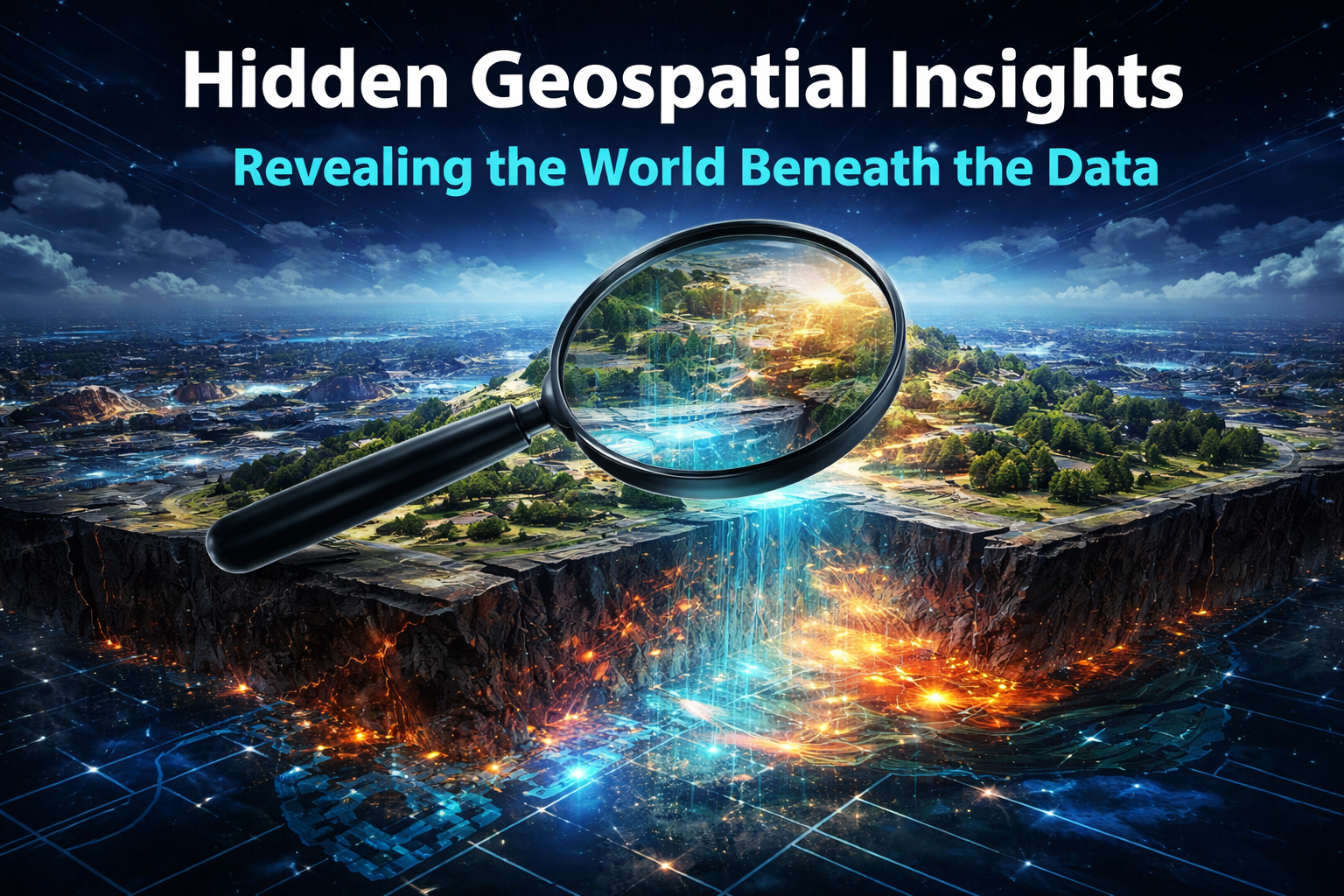
Have you ever looked at a map and felt like something was missing? Like the flat lines and colors were hiding a whole other story underneath? That’s exactly what happened to me when I first started digging into geospatial data a few years back. What began as simple curiosity turned into this quiet obsession: the…
-

The modern battlefield no longer belongs solely to the side with more troops, bigger guns, or faster jets. Increasingly, it belongs to the side that truly understands the ground beneath its feet—and everything happening on, above, and even beneath it. This is where the quiet revolution of geospatial intelligence, powered by Geographic Information Systems (GIS)…
-
Global challenges today are becoming more complex, interconnected, and harder to solve with traditional approaches alone. Issues such as climate change, rapid urban growth, infrastructure pressure, food insecurity, and energy transition all demand deeper understanding and smarter decision-making. One of the most powerful ways to gain this understanding is through geospatial insights—using location-based data to…
-
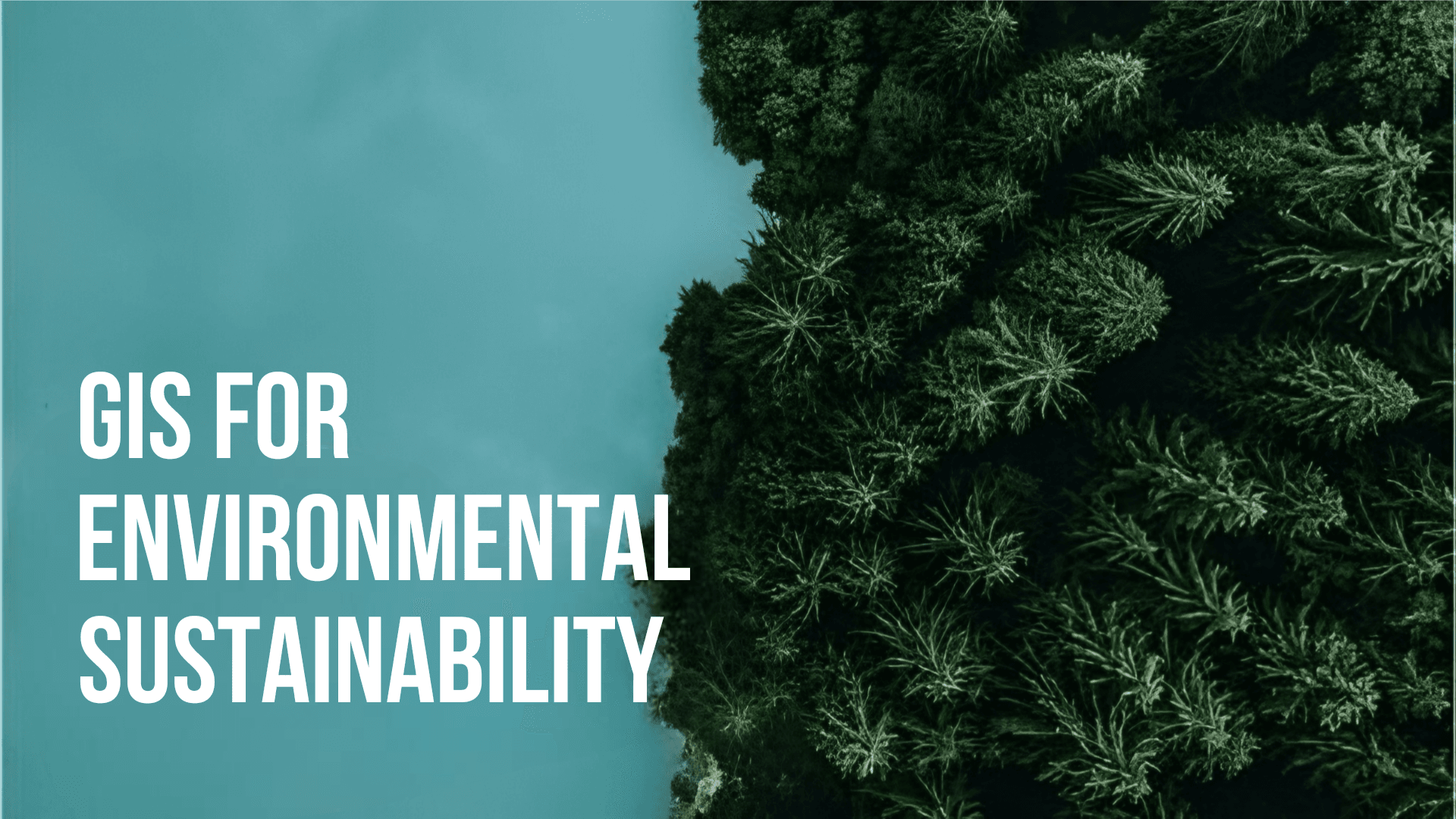
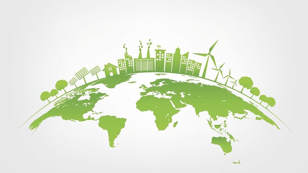
Environmental sustainability has become one of the most important global priorities as communities, governments, and industries search for smarter ways to protect natural resources while supporting development. One of the most powerful tools driving this effort is Geographic Information System (GIS) technology. GIS has transformed how we understand the environment, monitor change, and make informed…
-
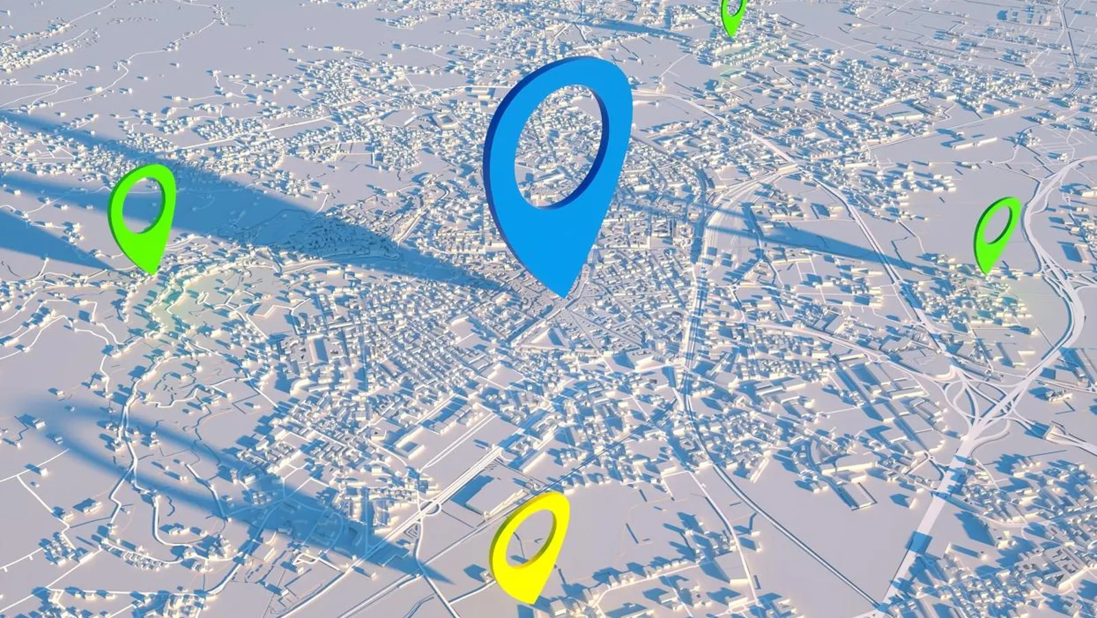
Cities today are growing faster than ever, and with that growth comes increasing pressure on infrastructure, resources, and the environment. To manage this complexity, urban planners and decision-makers rely on accurate and timely information. Geospatial data has become one of the most valuable tools in shaping modern cities, offering a deeper understanding of how people,…
-

Advanced mapping technology has moved well beyond its early role as a navigation aid. Today, it sits at the center of how modern businesses understand their environment, make decisions, and stay competitive. As markets become more complex and customer expectations rise, organizations are realizing that accurate, dynamic spatial data is no longer a luxury but…
-
Spatial intelligence has quietly become one of the most influential forces shaping how organizations understand the world around them. Beyond maps and coordinates, it connects location with behavior, risk, opportunity, and outcomes. When applied correctly, it changes how decisions are made, resources are allocated, and problems are solved. The true value of spatial intelligence is…
-
Accurate surveying sits quietly at the foundation of every successful development project, yet its importance is often underestimated until problems arise. Long before construction begins, surveying provides the factual understanding of land, boundaries, elevation, and spatial relationships that guide every decision that follows. Without this clarity, even the most ambitious development plans rest on uncertainty.…