Category: Geographic Information Systems (GIS)
-
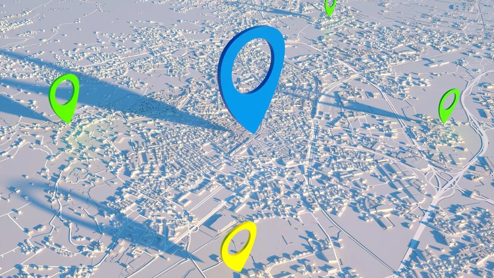
Cities today are growing faster than ever, and with that growth comes increasing pressure on infrastructure, resources, and the environment. To manage this complexity, urban planners and decision-makers rely on accurate and timely information. Geospatial data has become one of the most valuable tools in shaping modern cities, offering a deeper understanding of how people,…
-
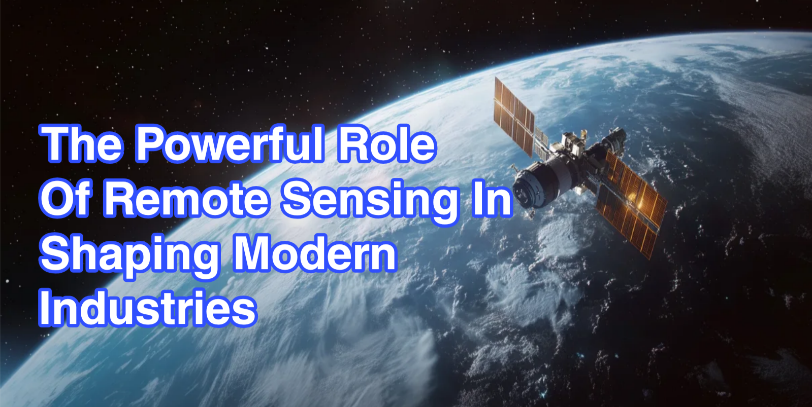
Remote sensing has become one of the most influential technologies shaping how modern industries observe, measure, and respond to the world around them. What once relied heavily on ground inspections and manual reporting is now driven by continuous streams of data captured from satellites, aircraft, and unmanned aerial systems. By providing a broader and more…