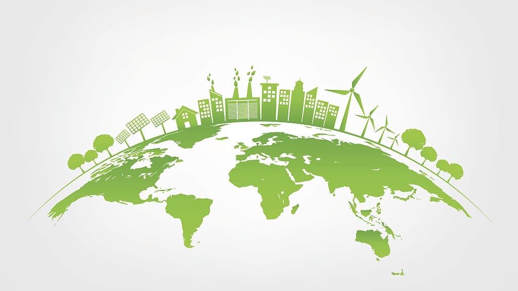
Global challenges today are becoming more complex, interconnected, and harder to solve with traditional approaches alone. Issues such as climate change, rapid urban growth, infrastructure pressure, food insecurity, and energy transition all demand deeper understanding and smarter decision-making. One of the most powerful ways to gain this understanding is through geospatial insights—using location-based data to reveal patterns, risks, and opportunities that are otherwise invisible.
At Infogeospatial, we see geography not just as maps, but as a decision-making framework. Every global challenge happens somewhere, and understanding that “where” often changes the “how” of solving it.
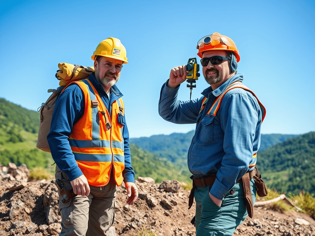
Geospatial insights are derived from data connected to real-world locations. This data comes from satellite imagery, GIS platforms, drone surveys, GPS systems, and remote sensing technologies. When analyzed together, these datasets provide context, accuracy, and clarity. Instead of relying on assumptions, organizations can visualize conditions on the ground and respond with confidence.
Climate change is one area where geospatial intelligence has become indispensable. Environmental changes such as deforestation, coastal erosion, flooding, and desertification occur gradually and across vast areas. Satellite monitoring and spatial analysis make it possible to track these changes over time, identify vulnerable regions, and support climate adaptation strategies. Governments and environmental agencies increasingly rely on geospatial data to guide conservation efforts and sustainable land management.
Urbanization presents another major global challenge. As cities expand, pressure on land, housing, transportation, and utilities continues to grow. Without proper planning, this growth can lead to congestion, informal settlements, and inefficient infrastructure. Geospatial insights allow planners and decision-makers to understand population dynamics, land use patterns, and infrastructure needs in a spatial context. With this knowledge, cities can develop more efficiently, balancing growth with livability and sustainability.

Disaster risk management is also heavily dependent on geospatial intelligence. Natural hazards such as floods, landslides, earthquakes, and wildfires do not occur randomly. They follow spatial patterns influenced by terrain, climate, and human activity. By analyzing these patterns, geospatial systems help identify high-risk zones, support early warning systems, and improve emergency response coordination. Real-time mapping during disasters enables responders to act faster and allocate resources where they are needed most.
Infrastructure development, whether roads, pipelines, power lines, or urban utilities, requires precise planning and long-term vision. Geospatial insights support route selection, land administration, construction monitoring, and asset management. Accurate spatial data reduces project risks, minimizes disputes, and ensures compliance with regulatory and environmental standards. In large-scale projects, even small spatial errors can lead to significant costs, making geospatial accuracy essential.
Agriculture and food security are increasingly shaped by spatial data as well. Changing weather patterns, soil conditions, and water availability directly affect agricultural productivity. Geospatial analysis allows farmers and policymakers to monitor crop health, assess land suitability, and plan resource use more efficiently. These insights support smarter farming practices that increase yields while preserving natural resources.
Energy planning, particularly in renewable energy development, also relies heavily on geospatial intelligence. Selecting suitable locations for solar farms, wind turbines, and transmission networks depends on terrain, climate, environmental impact, and proximity to infrastructure. Spatial analysis helps energy developers make informed decisions that reduce costs and improve long-term sustainability.
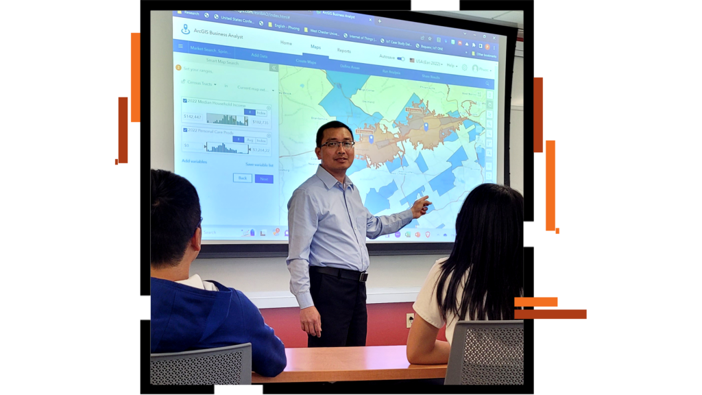
Beyond industry applications, geospatial insights play a growing role in governance and policy-making. Governments use spatial data for national mapping, land administration, security monitoring, and population analysis. When policies are grounded in accurate geographic information, they tend to be more effective, transparent, and responsive to real conditions on the ground.
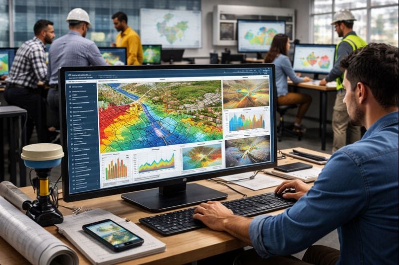
At Infogeospatial, our focus is on transforming raw spatial data into meaningful insights that support better decisions. We combine GIS, surveying, remote sensing, and advanced analytics to help organizations understand complex challenges in a clearer, more practical way. By grounding decisions in location-based intelligence, global challenges become easier to analyze, manage, and ultimately solve.

Breaking down global challenges begins with understanding how they play out on the ground, across communities, landscapes, and infrastructure systems. Geospatial insights bring clarity to this understanding by connecting data to place, allowing complex issues to be seen in a more practical and measurable way. When decision-makers can visualize problems spatially, responses become more targeted, realistic, and effective.
As technology continues to evolve, the value of geospatial intelligence will only grow. From shaping resilient cities and protecting natural resources to improving infrastructure delivery and supporting sustainable development, location-based insights provide a common language for collaboration across disciplines. Architects, engineers, planners, surveyors, and policymakers are increasingly working from the same spatial perspective, reducing uncertainty and improving outcomes.
At Infogeospatial, this approach reflects a belief that better decisions come from better understanding of place. By grounding analysis in real-world geography, complex global challenges become easier to interpret and manage. In a world facing rapid change, geospatial insights offer a practical pathway toward informed action and long-term resilience.
Leave a Reply
You must be logged in to post a comment.