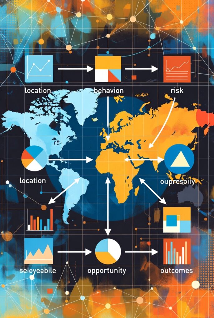
Spatial intelligence has quietly become one of the most influential forces shaping how organizations understand the world around them. Beyond maps and coordinates, it connects location with behavior, risk, opportunity, and outcomes. When applied correctly, it changes how decisions are made, resources are allocated, and problems are solved. The true value of spatial intelligence is best understood through real-world case studies where location-driven insight delivered measurable transformation.
In rapidly growing cities, urban planners have long struggled with congestion, unregulated development, and overstretched infrastructure. In one metropolitan region facing constant traffic gridlock, authorities integrated spatial intelligence into their planning process by analyzing road networks, population density, land use patterns, and commuter movement over time. The analysis revealed that congestion was not primarily caused by vehicle volume, but by poorly aligned junctions and informal developments obstructing traffic flow. By redesigning road layouts and enforcing zoning regulations using geospatial evidence, travel time dropped significantly, fuel consumption reduced, and emergency response times improved. What once felt like an uncontrollable urban problem became manageable through spatial insight.
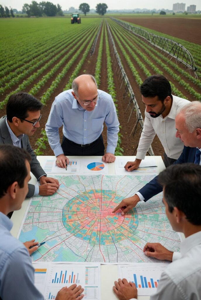
In the agricultural sector, spatial intelligence has proven equally transformative. A large-scale farming cooperative dealing with declining yields adopted location-based analysis to understand variations across their farmlands. By combining satellite imagery, soil data, elevation models, and historical weather patterns, they discovered that fertilizer and water were being applied uniformly across fields that had very different soil characteristics. Once the cooperative implemented spatially guided precision farming, crop health improved noticeably, operational costs fell, and yields increased. Farmers no longer relied on assumptions or tradition; decisions were driven by the land itself.
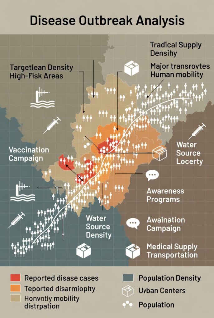
Public health organizations have also experienced powerful results. During a regional disease outbreak, health officials used spatial intelligence to map reported cases against population density, water sources, and mobility patterns. This approach revealed clear clusters linked to specific environmental conditions and human movement corridors. Instead of applying broad, expensive interventions across the entire region, resources were targeted to high-risk areas. Vaccination campaigns, awareness programs, and medical supplies were deployed with precision. The outbreak was contained faster than in previous years, demonstrating how location-based intelligence can save both time and lives.
In the energy sector, a power distribution company struggling with frequent outages turned to spatial intelligence to understand the root cause. By mapping infrastructure assets, maintenance records, terrain, and weather exposure, patterns began to emerge. Certain substations consistently failed during seasonal storms due to their geographic positioning and surrounding land cover. Armed with this insight, the company prioritized upgrades in the most vulnerable locations rather than spreading investment thinly across the network. The result was a dramatic reduction in outages and improved customer trust.
Environmental conservation efforts have equally benefited from spatial intelligence. In a protected forest reserve experiencing illegal encroachment, conservation teams analyzed satellite imagery and spatial change detection to monitor land cover over time. The data revealed specific access routes used repeatedly by illegal loggers. By focusing patrols and community engagement along these corridors, deforestation slowed significantly. Spatial intelligence shifted conservation from reactive enforcement to proactive protection.
Across these case studies, a common theme emerges. Spatial intelligence does not replace human expertise; it amplifies it. It turns scattered data into coherent stories, reveals patterns invisible to the naked eye, and enables decisions grounded in reality rather than intuition. Organizations that embrace this approach move from reacting to problems to anticipating them.

As industries continue to generate massive volumes of data, the differentiator will not be who has the most information, but who understands where that information lives and how it interacts with space. These proven case studies show that when location becomes part of the conversation, smarter, faster, and more sustainable outcomes follow.
Leave a Reply
You must be logged in to post a comment.