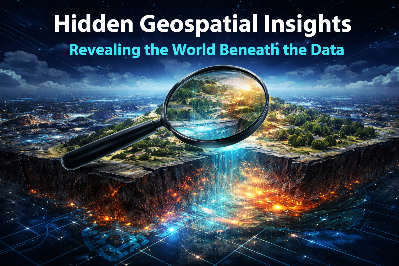
Have you ever looked at a map and felt like something was missing? Like the flat lines and colors were hiding a whole other story underneath? That’s exactly what happened to me when I first started digging into geospatial data a few years back. What began as simple curiosity turned into this quiet obsession: the world we see every day is only the surface. Beneath it—sometimes literally—there’s a hidden layer of truths waiting to be uncovered.
Take the Sahara Desert, for instance. For centuries, people crossed those endless dunes without realizing entire ancient fortresses and settlements lay buried just below the sand. Then satellites came along, peering through with special sensors and imaging techniques that revealed shapes no one on the ground could spot. Suddenly, lost cities and mysterious structures emerged from the emptiness, rewriting what we thought we knew about ancient civilizations in North Africa.
Here are a few of those eye-opening satellite views showing ancient hidden structures in the desert:
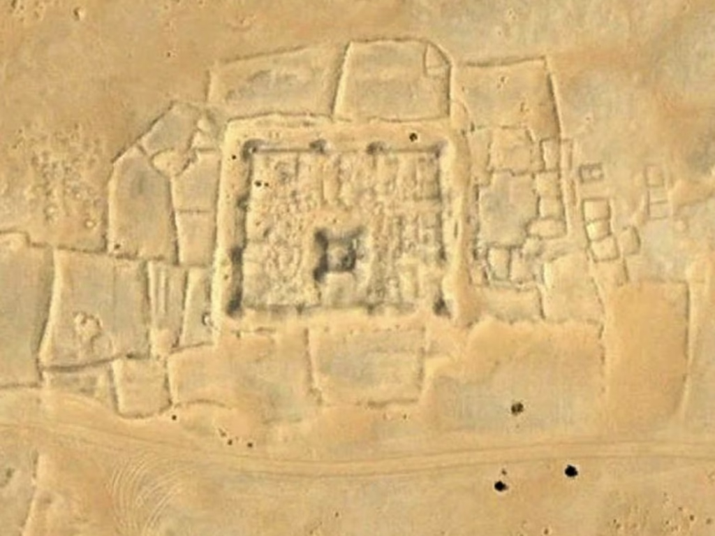
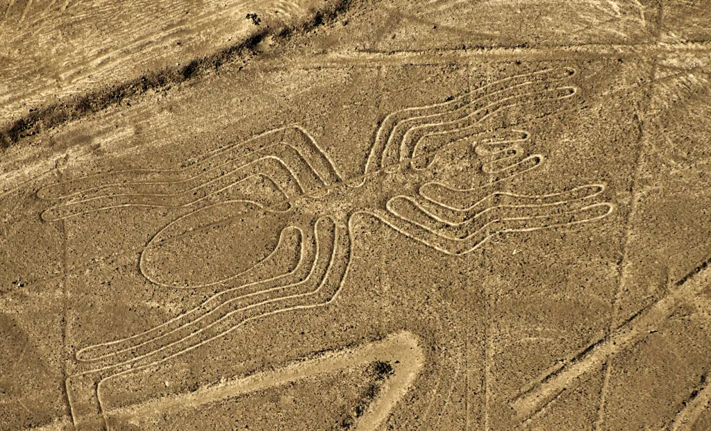
These ghostly outlines remind us how much history is still waiting to be rediscovered.
But it’s not just about the distant past. Switch the view to night, and something completely different appears. When the lights go out across the planet, satellites capture the glow of human activity—and the picture is startling. Entire regions light up like fireflies, showing exactly where people live, work, and move. Borders that look clean on a daytime map vanish. You see the real pulse of civilization: bustling cities bleeding into suburbs, quiet rural pockets, and vast dark areas where almost no one lives.
Look at these night-time images of Earth. The patterns of light tell stories no census or news report can match:
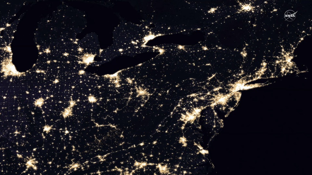
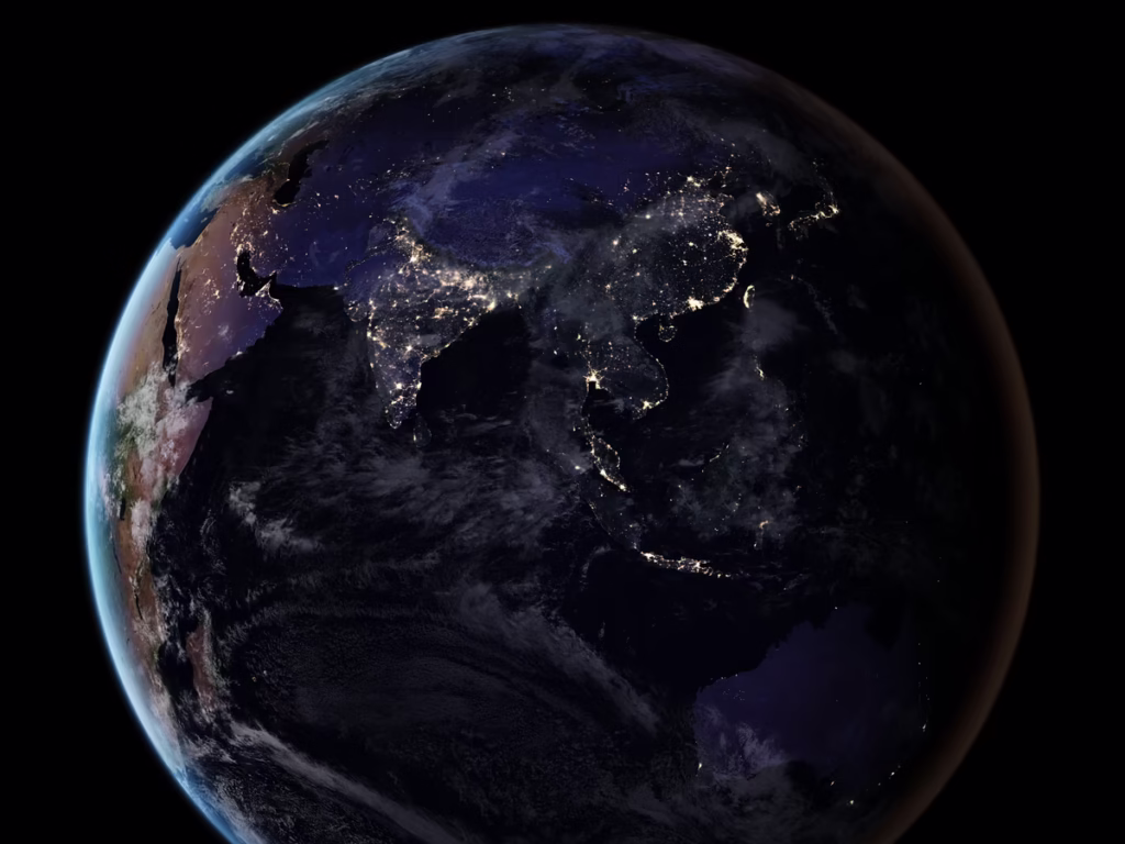
You can almost feel the energy flowing through those bright clusters, and notice the sharp contrasts that reveal inequality, migration, even economic shifts.
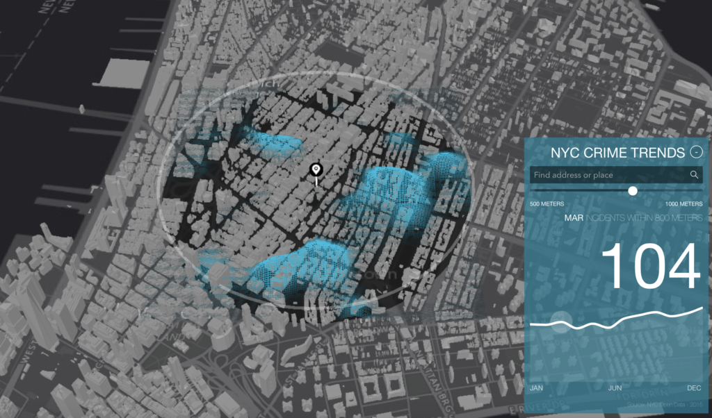
Closer to home, the same technology peels back layers we walk past every day. In cities, experts overlay crime reports, traffic flows, and population data onto maps. What emerges are heat maps that show patterns no spreadsheet could ever capture. Hotspots appear where problems concentrate, sometimes in places that feel completely ordinary during the day. Police departments, urban planners, even community groups use these views to understand why certain streets feel unsafe or why businesses thrive in one neighborhood but struggle just a few blocks away.
These visualizations make the invisible visible—patterns of safety, risk, and daily life laid out in color:
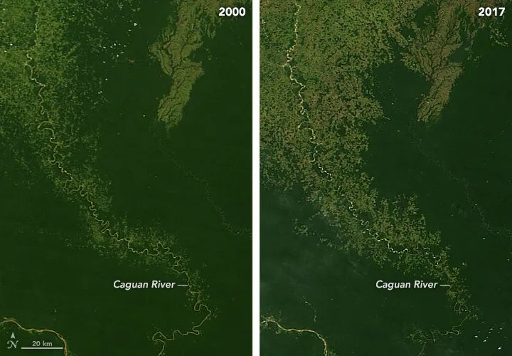
And then there’s the heartbreaking side. The Amazon rainforest once seemed endless, but satellite time-lapse images show the truth in brutal clarity. Over decades, the green blanket gets chewed away in sharp, straight lines—roads, farms, illegal logging. The before-and-after comparisons are hard to look at, yet they’re impossible to ignore. They force us to see the scale of change that happens quietly, tree by tree, until entire ecosystems are transformed.
These images capture the dramatic shift in the Amazon over time:

The world beneath the data isn’t some abstract concept—it’s real places, real history, real consequences. Every time we layer location with other information, whether it’s ancient ruins, city lights, crime trends, or disappearing forests, something hidden comes into focus. We start asking better questions. Why here? What changed? Who benefits? Who suffers?
Geospatial insights don’t just show us where things are. They show us who we are, what we’ve done, and sometimes, what we still have time to fix. Next time you open a map on your phone, remember: it’s only scratching the surface. The real story is waiting underneath, ready for anyone curious enough to look a little deeper.
Leave a Reply
You must be logged in to post a comment.