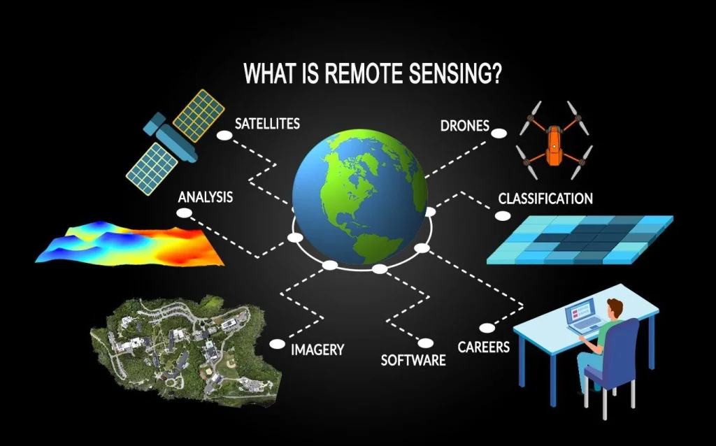
Remote sensing has become one of the most influential technologies shaping how modern industries observe, measure, and respond to the world around them. What once relied heavily on ground inspections and manual reporting is now driven by continuous streams of data captured from satellites, aircraft, and unmanned aerial systems. By providing a broader and more consistent view of the Earth, remote sensing enables industries to make decisions based on evidence rather than assumption.
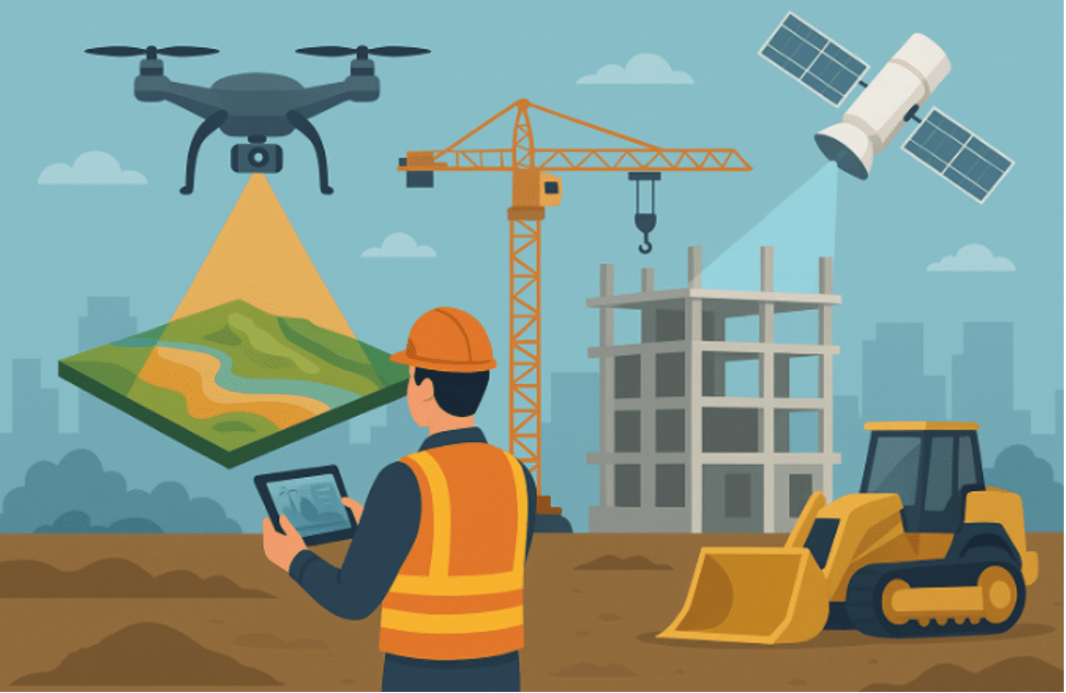
In the infrastructure and construction sector, remote sensing has changed how projects are planned and monitored. High-resolution imagery and elevation data allow engineers to assess terrain conditions long before equipment arrives on site. Flood risk, slope stability, and land suitability can be evaluated early, reducing uncertainty during construction. As projects progress, repeated imagery helps track development in near real time, ensuring alignment with design specifications and identifying potential issues before they become costly failures.
Agriculture has also experienced a quiet transformation through remote sensing. Farmers and agribusinesses now rely on satellite-derived information to monitor crop health, soil moisture, and vegetation growth across vast areas. These insights reveal patterns that are impossible to detect from the ground alone. Stress in crops can be identified early, allowing timely intervention that improves yield and reduces waste. By aligning farm management decisions with spatial evidence, productivity increases while environmental impact decreases.
In the energy sector, remote sensing supports both exploration and asset management. Oil, gas, and renewable energy developers use remotely sensed data to analyze terrain, identify suitable locations, and monitor infrastructure over time. Power lines, pipelines, and wind farms can be inspected without constant physical access, improving safety and reducing operational costs. In regions prone to environmental extremes, remote sensing provides early warning signs of erosion, flooding, or structural exposure that could disrupt energy supply.
Environmental management and conservation efforts depend heavily on remote sensing to understand change over time. Forest cover, water bodies, and land use patterns can be monitored consistently, revealing trends that would otherwise go unnoticed. This information supports better policy decisions, targeted enforcement, and sustainable resource management. By showing not just what is happening, but where and how fast it is happening, remote sensing turns environmental protection into a proactive process.
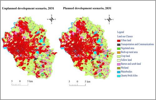
Urban development and planning have also benefited from this technology. Rapid population growth places pressure on cities to expand efficiently and sustainably. Remote sensing provides planners with accurate data on land use, building density, and infrastructure growth. These insights help guide zoning decisions, transportation planning, and service delivery. Cities that integrate remote sensing into their planning processes are better equipped to manage growth while maintaining quality of life.
Across all these industries, the value of remote sensing lies in its ability to connect space, time, and decision-making. It offers a consistent, objective view that supports smarter strategies and reduces risk. As industries continue to face complex challenges, remote sensing stands as a critical tool for understanding the world at scale and shaping solutions that are both informed and resilient.
Leave a Reply
You must be logged in to post a comment.