The modern battlefield no longer belongs solely to the side with more troops, bigger guns, or faster jets. Increasingly, it belongs to the side that truly understands the ground beneath its feet—and everything happening on, above, and even beneath it. This is where the quiet revolution of geospatial intelligence, powered by Geographic Information Systems (GIS) and remote sensing, has delivered one of the most decisive tactical edges in contemporary military operations.
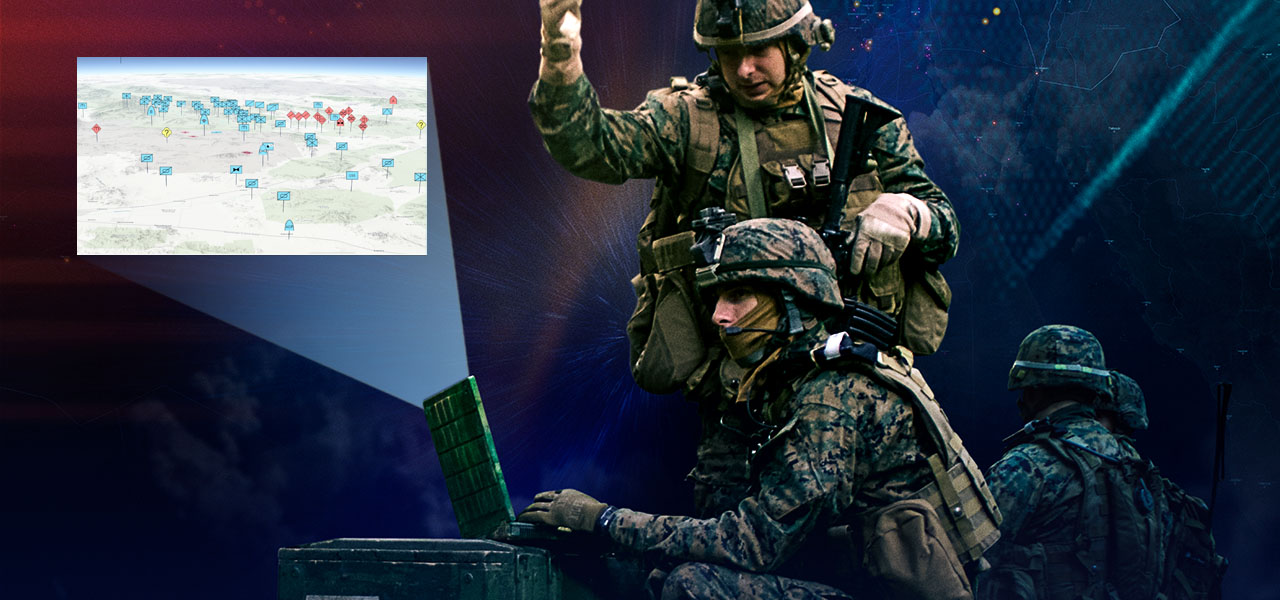
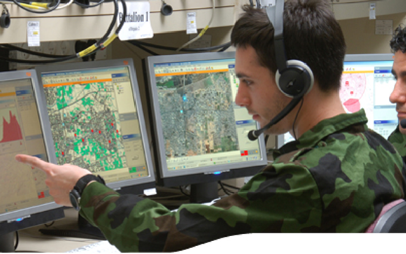
Imagine a commander staring at a digital map that isn’t just static lines and symbols, but a living, breathing representation of the terrain. Every ridge, river, road, building, and vehicle movement updates in near real-time. Satellite eyes in the sky, drones buzzing overhead, and ground sensors feed data that gets fused into layers anyone can interpret at a glance. This isn’t science fiction—it’s the reality that has reshaped how wars are planned and fought in the 2020s.
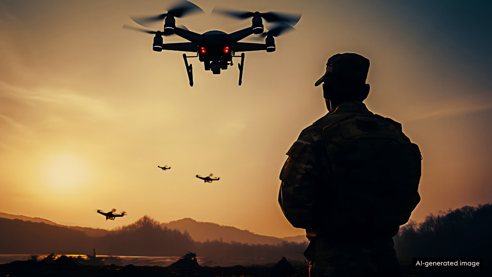
Geospatial intelligence draws from imagery captured across the electromagnetic spectrum, from visible light to radar waves that pierce clouds and darkness. Remote sensing provides the raw eyes: high-resolution optical photos from commercial providers like Maxar, synthetic aperture radar (SAR) that reveals hidden movements, infrared detecting heat signatures from engines or campfires. GIS then becomes the brain, organizing all this information into meaningful context. It overlays troop positions on topography, calculates line-of-sight for artillery, models flood risks during monsoon seasons, or predicts where supply lines might be most vulnerable. Together, they transform scattered pixels into actionable understanding.
The tactical advantages emerge immediately once you step into real operations. Terrain analysis is the oldest military science, but never before has it been so precise and instantaneous. Forces can identify concealed positions, spot subtle changes in vegetation that betray camouflaged vehicles, or discover new obstacles created by enemy engineering. In urban environments, where every street corner can hide danger, GIS layers reveal building layouts, population density, escape routes, and even the location of underground utilities—knowledge that can mean the difference between a successful raid and a deadly ambush.
Mission planning has been turned upside down. What once took days of poring over paper maps and aerial photos now happens in hours or minutes. Planners simulate routes, weigh risks, and visualize how weather, light, and shadows will affect visibility. They can even run “what-if” scenarios: what happens if the bridge gets destroyed? Which alternate path minimizes exposure to enemy fire? The result is faster, more informed decisions that keep momentum on the attacker’s side while denying it to the opponent.
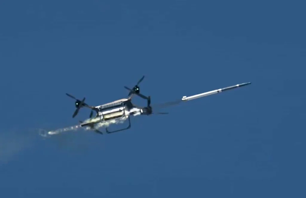
Targeting has become dramatically more accurate. Precision-guided munitions are only as good as the coordinates fed into them. Geospatial intelligence provides those coordinates with meter-level accuracy, often updated right up to the moment of launch. In the ongoing conflict in Ukraine, commercial satellite imagery has repeatedly exposed Russian troop concentrations, supply depots, and command posts long before they could be used effectively. Ukrainian forces, leveraging both government and commercial sources, have turned these revelations into devastating drone and missile strikes. The same imagery has allowed rapid damage assessments after strikes, helping commanders understand whether follow-up attacks are needed or whether resources should shift elsewhere.
Perhaps the most striking evolution has come from the democratization of these tools. Whereas high-quality satellite imagery was once the exclusive domain of superpowers, today private companies offer resolutions sharp enough to count individual vehicles from space. During the buildup to Russia’s full-scale invasion of Ukraine in 2022, publicly released images of massive convoys and staging areas stripped away any pretense of surprise. Later, SAR imagery pierced nighttime and cloud cover to track movements that optical sensors couldn’t see. Both sides now operate in an environment of near-constant surveillance, forcing adaptations: dispersal of forces, heavy camouflage, decoys, electronic spoofing. The side that best exploits—and denies—the opponent’s access to geospatial data gains the upper hand.
Even in dense urban battles like those seen in Gaza or the grinding fight for cities in eastern Ukraine, the technology shows its worth. Analysts use change-detection algorithms on time-series imagery to map destruction block by block, identify craters from artillery, or spot patterns of life that reveal enemy strongpoints. Drones provide the close-up view, but satellites and GIS give the wide context, allowing commanders to see how neighborhood-level actions fit into the larger campaign.
Of course, this power comes with new vulnerabilities. The same commercial satellites that aid one side can be purchased or accessed by the other. Jamming GPS signals, spoofing locations, or launching cyberattacks against data pipelines has become part of the game. The future will likely see even tighter integration of artificial intelligence, automatically sifting through terabytes of imagery to highlight anomalies faster than any human could. Edge computing will push processing power down to the tactical level—soldiers with tablets seeing updated intelligence without waiting for higher headquarters.
In the end, the true power of geospatial intelligence, GIS, and remote sensing isn’t in the technology itself. It’s in how it restores clarity in the fog of war. It lets commanders see farther, understand deeper, and act quicker. In an era where information dominance often decides victory before the first shot is fired, this capability has quietly become one of the most powerful weapons on the modern battlefield. The armies that master it won’t just fight wars—they’ll shape them.
Leave a Reply
You must be logged in to post a comment.