Description
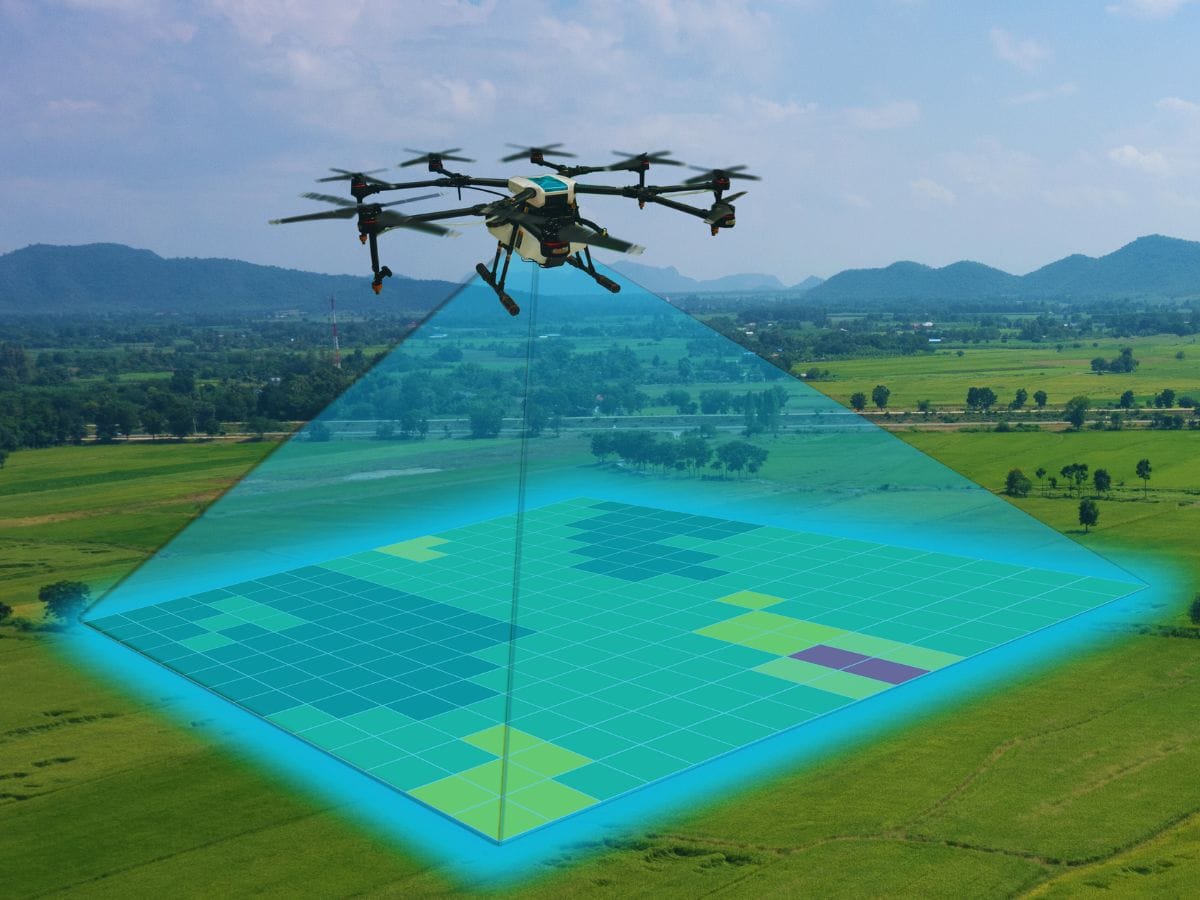
Complete drone-based surveying system with high-resolution cameras and advanced geospatial data processing capabilities.
Complete drone-based surveying system with high-resolution cameras and advanced geospatial data processing capabilities.
20 in stock
Complete drone-based surveying system with high-resolution cameras and advanced geospatial data processing capabilities.
You must be logged in to post a review.

Reviews
There are no reviews yet.