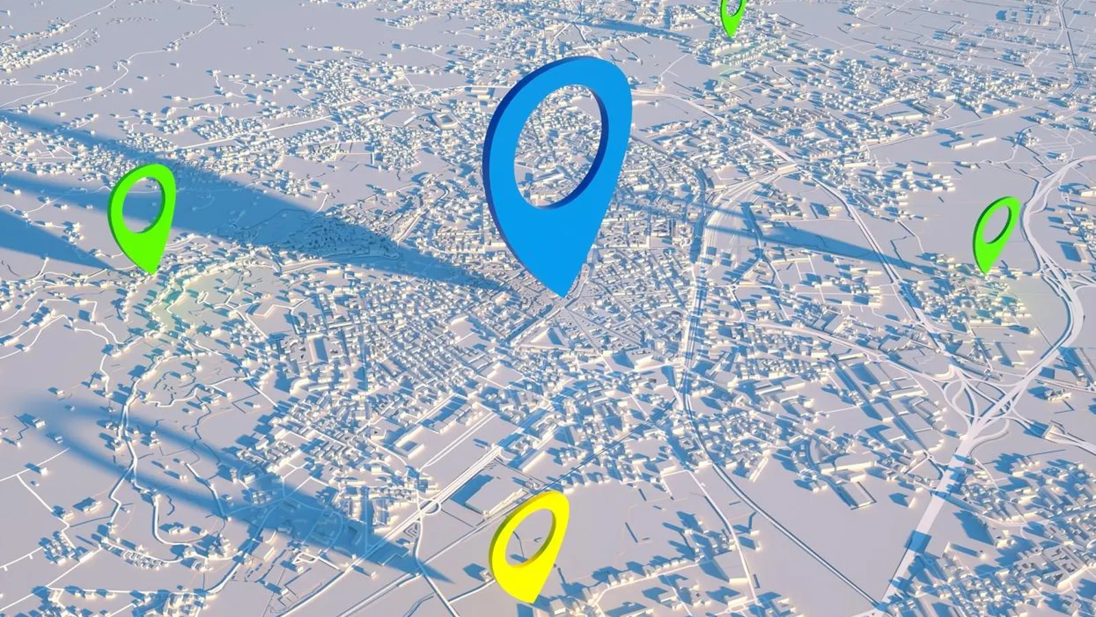
Cities today are growing faster than ever, and with that growth comes increasing pressure on infrastructure, resources, and the environment. To manage this complexity, urban planners and decision-makers rely on accurate and timely information. Geospatial data has become one of the most valuable tools in shaping modern cities, offering a deeper understanding of how people, places, and systems interact within an urban environment. By combining location-based data with real-world analysis, cities can plan smarter, respond faster, and grow more sustainably.
At the heart of geospatial data is its ability to reveal patterns that are not immediately visible. From population distribution and land use to transportation flow and environmental conditions, geospatial data turns raw information into meaningful insights. City planners can visualize where development is happening too quickly, where infrastructure is under strain, and where future growth can occur without harming natural ecosystems. This level of spatial awareness allows urban development to be guided by evidence rather than assumptions.
Public safety is one of the areas where geospatial data creates significant impact. Emergency response agencies rely on spatial information to identify high-risk zones, plan evacuation routes, and deploy resources efficiently during disasters. Whether responding to flooding, traffic accidents, or fire outbreaks, accurate geographic data helps authorities act faster and save lives. Over time, this data also supports better risk assessment and long-term planning, reducing vulnerabilities before disasters occur.

Geospatial data also plays a vital role in promoting environmental sustainability within cities. By mapping green spaces, water bodies, air quality levels, and waste management systems, urban planners can monitor environmental health and identify areas under stress. This information supports smarter decisions such as where to introduce green infrastructure, how to manage drainage systems, and how to reduce pollution. Sustainable city planning becomes more achievable when environmental data is integrated into everyday decision-making.
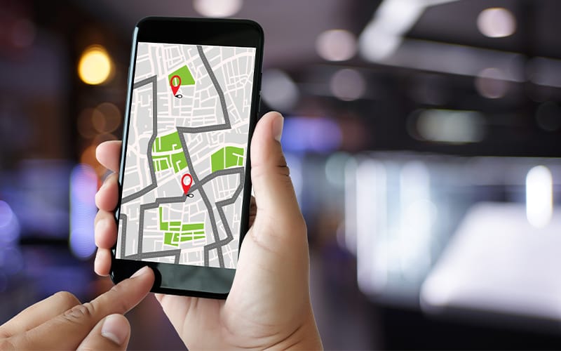
Transportation and mobility planning benefit greatly from geospatial analysis. Understanding traffic patterns, public transit usage, and pedestrian movement allows cities to design more efficient transportation networks. This leads to reduced congestion, lower emissions, and improved quality of life for residents. As cities grow more complex, geospatial data helps ensure that movement within urban spaces remains efficient and accessible.
Economic development is also closely tied to the intelligent use of geospatial data. Investors, developers, and governments use spatial insights to determine suitable locations for businesses, housing, and public services. By identifying growth corridors and underserved areas, cities can promote balanced development that benefits both the economy and local communities. This data-driven approach minimizes waste and maximizes the impact of public and private investments.
As urban challenges continue to evolve, the value of geospatial data becomes even more apparent. It connects technology with real-world decision-making, allowing cities to respond to change with precision and foresight. Through the smart use of location-based data, cities can grow in ways that are not only efficient and resilient but also environmentally responsible and people-centered.
Leave a Reply
You must be logged in to post a comment.