
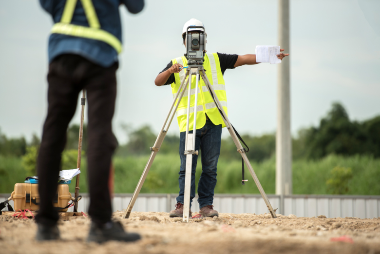
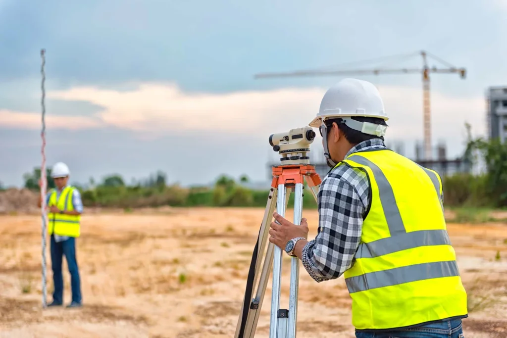
Accurate surveying sits quietly at the foundation of every successful development project, yet its importance is often underestimated until problems arise. Long before construction begins, surveying provides the factual understanding of land, boundaries, elevation, and spatial relationships that guide every decision that follows. Without this clarity, even the most ambitious development plans rest on uncertainty.
One of the earliest ways accurate surveying shapes a project is through land ownership and boundary definition. Development and land encroachment disputes frequently stem from unclear or poorly defined boundaries. An accurate survey establishes legal certainty, protecting developers from costly conflicts with neighboring landowners or government authorities. When boundaries are correctly identified from the start, projects move forward with confidence and avoid delays that can drain both time and financial resources.
Accurate surveying also plays a critical role in project design and planning. Engineers and architects rely on survey data to understand terrain, slope, drainage patterns, and existing structures. A slight error in elevation data can lead to poor drainage design, unstable foundations, or unexpected earthworks. When survey information is reliable, designs align naturally with the land, reducing the need for expensive redesigns or corrective construction work later in the project lifecycle.
Cost control is another major reason surveying accuracy matters. Development budgets are often tight, and unforeseen site conditions can quickly inflate costs. An accurate survey job reveal challenges early, whether they involve uneven terrain, access constraints, or underground features. By identifying these factors before construction begins, developers can plan realistically, allocate resources efficiently, and avoid the financial shock of mid-project adjustments.
Safety is equally dependent on accurate surveying. Construction sites involve heavy machinery, deep excavations, and complex structural elements. Surveying ensures that structures are positioned correctly, slopes are stable, and elevations meet design specifications. Errors at this stage can compromise structural integrity and put lives at risk. Accurate surveys help maintain alignment between design intent and physical execution, creating safer working environments and more reliable outcomes.

In large-scale infrastructure projects, surveying accuracy directly influences long-term performance. Roads, bridges, pipelines, and drainage systems must follow precise alignments to function as intended. Small positional errors can cause premature wear, flooding, or system failure. When survey data is accurate, infrastructure assets perform better, last longer, and require less maintenance over time.
Environmental considerations also depend heavily on quality survey work. Modern development increasingly demands sensitivity to natural features such as waterways, vegetation, and terrain. Accurate surveying allows developers to identify environmentally sensitive areas and design around them. This approach supports sustainable development, reduces regulatory challenges, and minimizes negative environmental impact.
Ultimately, accurate surveying is not just a technical requirement; it is a strategic advantage. It provides certainty in an environment where uncertainty is costly. Successful development projects are those that respect the land they occupy and respond intelligently to its realities. By investing in accurate surveying from the outset, developers set the stage for smoother execution, stronger structures, and outcomes that stand the test of time.
Leave a Reply
You must be logged in to post a comment.